
Best Travel Apps New Zealand: Best Travel Apps for New Zealand: My Practical Shortlist
You leave Auckland after breakfast, follow the coast for an hour, and then the road climbs into hills with no signal. Your hotel address is trapped in an email, the rain starts early, and the fuel gauge has dropped lower than expected. That is the moment most New Zealand travel plans become stressful.
The best travel apps for New Zealand are not the ones with the prettiest screens. You need a small setup that handles poor reception, fast weather changes, fuel stops, campsites, and long drives. I would install five apps, but I would also prepare the trip without depending on any of them.
Why New Zealand trips break at the roadside
New Zealand looks compact on a map, yet the useful travel distance is easy to misjudge. A 180-kilometre drive can take four hours when the route includes single-lane bridges, steep passes, roadworks, or a slow campervan. Google may show a quick route, but the screen cannot tell you how tiring that road feels after dark.
Signal is a planning issue, not just a phone issue
Mobile coverage is strong around major towns and many tourist centres. It becomes less reliable on remote sections of State Highway 1, the West Coast, Fiordland, Northland, and the central South Island. Downloading maps helps, but offline navigation cannot provide every live closure, business change, or weather warning. Save your accommodation address, booking numbers, and the next fuel stop before leaving town. A screenshot is still useful when your battery is low.
Distance hides the real cost of a route
Drivers often budget for petrol and forget time. A scenic detour can add two hours, while a short mountain route may demand more concentration than a longer highway. Plan each day around daylight, fuel range, meal stops, and one realistic main attraction. Do not stack a sunrise hike, a long crossing, and a late check-in into the same day. The best travel app setup supports this judgment; it cannot replace it.
My rule is simple: plan the next 24 hours while you still have reliable data, then keep enough information on the phone to finish the day offline.
What to solve before downloading anything

Before choosing apps, decide what could actually ruin your day. That list is more useful than a crowded home screen.
Make this four-part pre-trip check
- Map the signal gaps. Mark the long remote sections on your route and save the map area before departure. Keep the road name and destination written in plain text as a backup.
- Set a fuel rule. If your tank falls below half in a remote region, start looking for fuel. Do not assume the next settlement will have an open station or the fuel grade your rental car needs.
- Check weather by region. Auckland, Tongariro, Wellington, Queenstown, and Milford Sound can have very different conditions on the same day. A national forecast is not enough for a mountain drive.
- Leave room for closures. Landslides, snow, flooding, and wind can change a route quickly. Keep one backup town or overnight stop in mind instead of treating your itinerary as fixed.
Keep your phone usable when the plan changes
Charge the phone before every long drive, carry a vehicle charger, and reduce screen brightness when navigation is running for hours. Download booking confirmations and important addresses as screenshots. If you are travelling with another person, share the route and emergency contact details before setting off. This takes five minutes and avoids a poor decision beside a dark roadside.
Do not download ten apps for a two-week trip. Every extra app adds another account, another battery drain, and another source of conflicting information. Use one map, one weather source, and one tool for the specific trip style you have chosen.
The five apps I would put on my NZ phone
Once the basics are covered, these are the apps I would install. They are free to download, though some may offer optional paid features or advertising. The point is not to collect tools; it is to give each app one clear job.
| App | Download cost | Best use | My verdict |
|---|---|---|---|
| Google Maps | $0 | Offline driving maps, saved places, restaurants | Best main navigation tool |
| MetService | $0 | New Zealand forecasts, rain radar, warnings | Best local weather check |
| CamperMate | $0 | Campsites, dump stations, toilets, showers | Best for campervan routes |
| Gaspy | $0 | Fuel prices shown in NZ cents per litre | Best fuel-saving tool |
| Windy.com | $0 basic version | Wind, rain, cloud, and mountain conditions | Best for exposed outdoor plans |
Google Maps is the default, not the whole plan
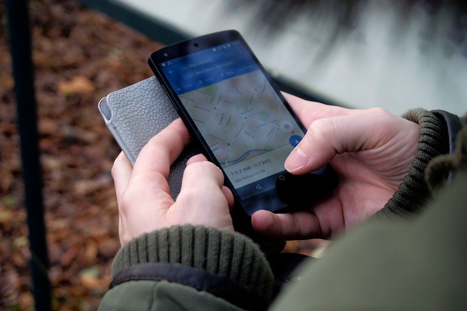
Google Maps wins because it combines offline maps, saved locations, opening hours, and driving directions in one familiar place. Download the North Island or South Island map area before travelling, then test it with your phone in airplane mode. It is excellent for finding the next café or checking the entrance to a hotel. It is less reliable as a promise that a remote road will be easy, open, or suitable for a large rental vehicle.
MetService beats a generic weather widget
MetService is my first weather check because it focuses on New Zealand forecasts, rain radar, and official warnings. Gaspy is worth adding if you are driving, since small price differences matter across a long route. CamperMate earns its place for campervan travel because it puts campsites, dump stations, public toilets, and practical facilities in one search. Windy.com is the extra app I use for exposed hikes, ferry crossings, and windy alpine areas. If you only want three, choose Google Maps, MetService, and the app that matches your transport.
How I use the apps on a long New Zealand road day

My strongest recommendation: check conditions before breakfast, not when the road has already become difficult. That habit matters more than any individual app.
Before leaving the last reliable town
- Open MetService and check the forecast for both your departure point and destination. Look at rain, wind, temperature, and warnings rather than only the daily symbol.
- Use Gaspy to find a sensible fuel stop, then confirm it sits on your actual route. The cheapest station is not a bargain if reaching it adds 35 minutes.
- Open Google Maps and review the route manually. Check estimated driving time, mountain passes, ferry connections, and the final kilometre to your accommodation.
- Save the next two stops, the accommodation address, and one meal option. Download the relevant map area while the connection is good.
When the signal disappears
Keep driving from the downloaded map, but stop treating the arrival time as exact. Offline navigation can guide you along a mapped road; it cannot see a new closure. If the weather worsens, pull over safely and compare your written backup plan with the conditions. CamperMate is useful for finding the next legal overnight option, but do not assume every listing is available, quiet, or suitable for your vehicle. Read recent comments, check opening dates, and call ahead when the area is busy.
This routine also prevents battery waste. The phone works hardest when you keep searching, refreshing, and rerouting. Prepare first, then let the map do one job.
Which app should you skip, and what should replace it?
Do I need every app on the list?
No. A hotel-based traveller who drives between cities can skip CamperMate. A campervan traveller can skip it only if every campsite is already booked and the route has confirmed facilities. A person staying on main roads may never need Windy.com, while someone hiking near exposed ridges should keep it. My minimum setup is Google Maps, MetService, and offline copies of bookings and addresses.
Is Google Maps enough for a New Zealand road trip?
No. It is the best general navigation app, but it does not replace local weather information or common sense about remote roads. Use Google Maps for location and routing, MetService for official weather, and Gaspy for fuel decisions. That division keeps one app from carrying information it was never designed to provide.
What is the biggest app mistake?
Trusting a live connection after leaving the last town. Downloading a map five minutes before the signal disappears is too late, and a route that looks short on screen may take half a day in real conditions. The traveller leaving Auckland in the opening scenario has a better plan now: the route is saved, the rain has been checked, the fuel stop is known, and the next address is available offline. That is what the best travel apps for New Zealand should deliver—less guessing when the road gets quiet.

Travel Photography Instagram Accounts Worth Following

Best Eco-Friendly Boutique Hotels in Costa Rica: 2026 Prices

Travel Photography Tripods: What Actually Matters Before You Buy
About The Author
